GPS Services
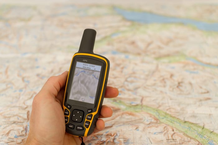
As part of our GPS services we utilize the Trimble R12 and Trimble R85 rovers with TSC7 data collectors – which allows referencing of geoidal models in real time. We have access to all GPS constellations. LandSource provides both static and real-time kinematic services to centimeter accuracy, also providing sub-meter accuracy using differential positioning provided by navigational beacon signals.
Our capabilities include services for control networks, large boundary and topographic surveys, and aerial photographic control.
In addition, our GPS services can provide cost-effective solutions for required latitude and longitude certifications for government applications, such as monitor wells, FAA permits and FCC communication tower licenses.
